
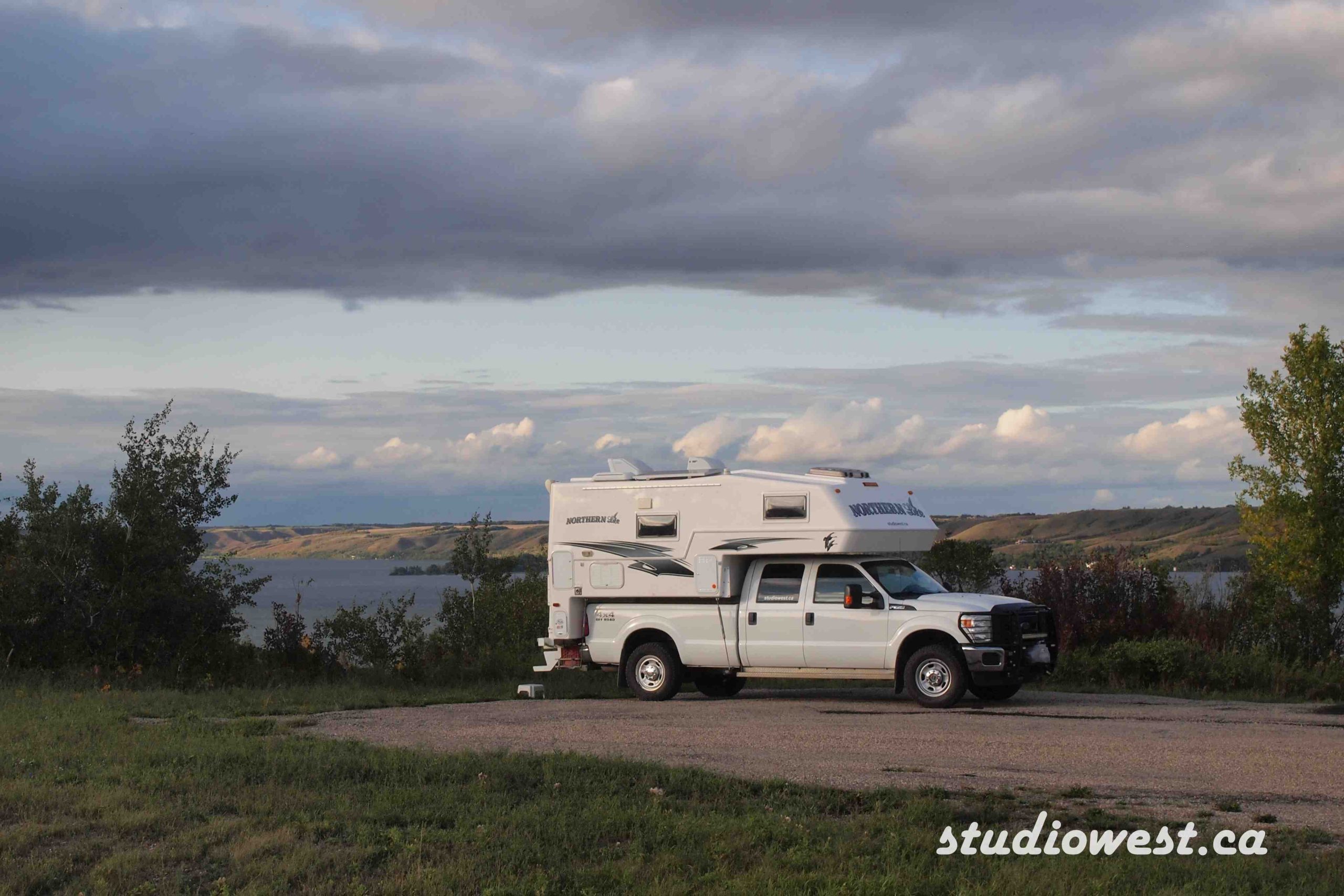
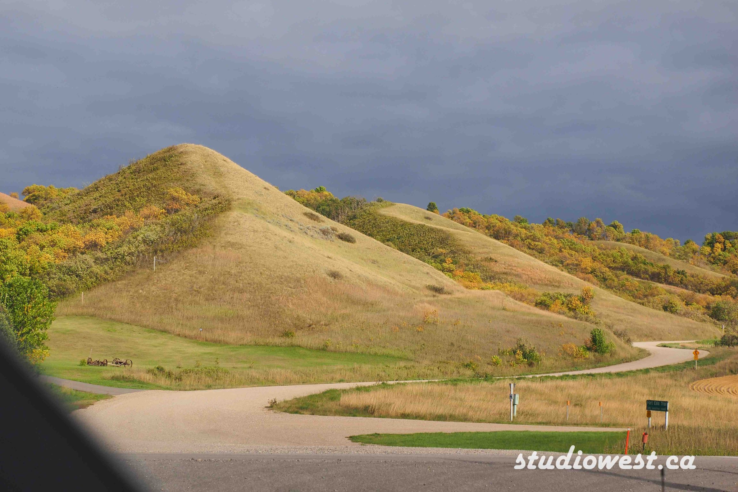
I hear it all the time in our travels, flat boring land, we drove right through Saskatchewan. Get off the Trans-Canada Highway. Charlotte and I have travelled just about every highway in this province, I can beg to differ. If you want mountains sorry, we don’t have any, what we do have is a very diverse landscape south of the Trans-Canada as well as north of the highway, agreed the Trans-Canada is a flat straight and boring highway.
To the south we have Cypress Hills a lush lodge pole pine oasis in the middle of rolling hills and miles of Grassland. Ranching country, Big Muddy, Grassland National Park and the list goes on. Some are posted in our previous blogs.
North the Yellowhead Highway a much more scenic route, the Qu’Appelle Valley, Provincial Forest, thousands of lakes, Prince Albert National Park, north to LaRonge the Canadian shield and rocky lakeshores and rivers.
Just get off the Trans-Canada Highway.
Early this fall we travelled through the beautiful central section of the Qu’Appelle Valley on Highways 35 and 56 which pass through Fort Qu’Appelle, Echo Valley Provincial Park, Lebret, and Katepwa Lake. This section is the most developed and paved road. We also really enjoyed travelling east on Highway 247, a primary scenic route, paved but narrow and winding past Crooked and Round Lakes. Highway 9 and 47 act as connectors off the Trans-Canada.
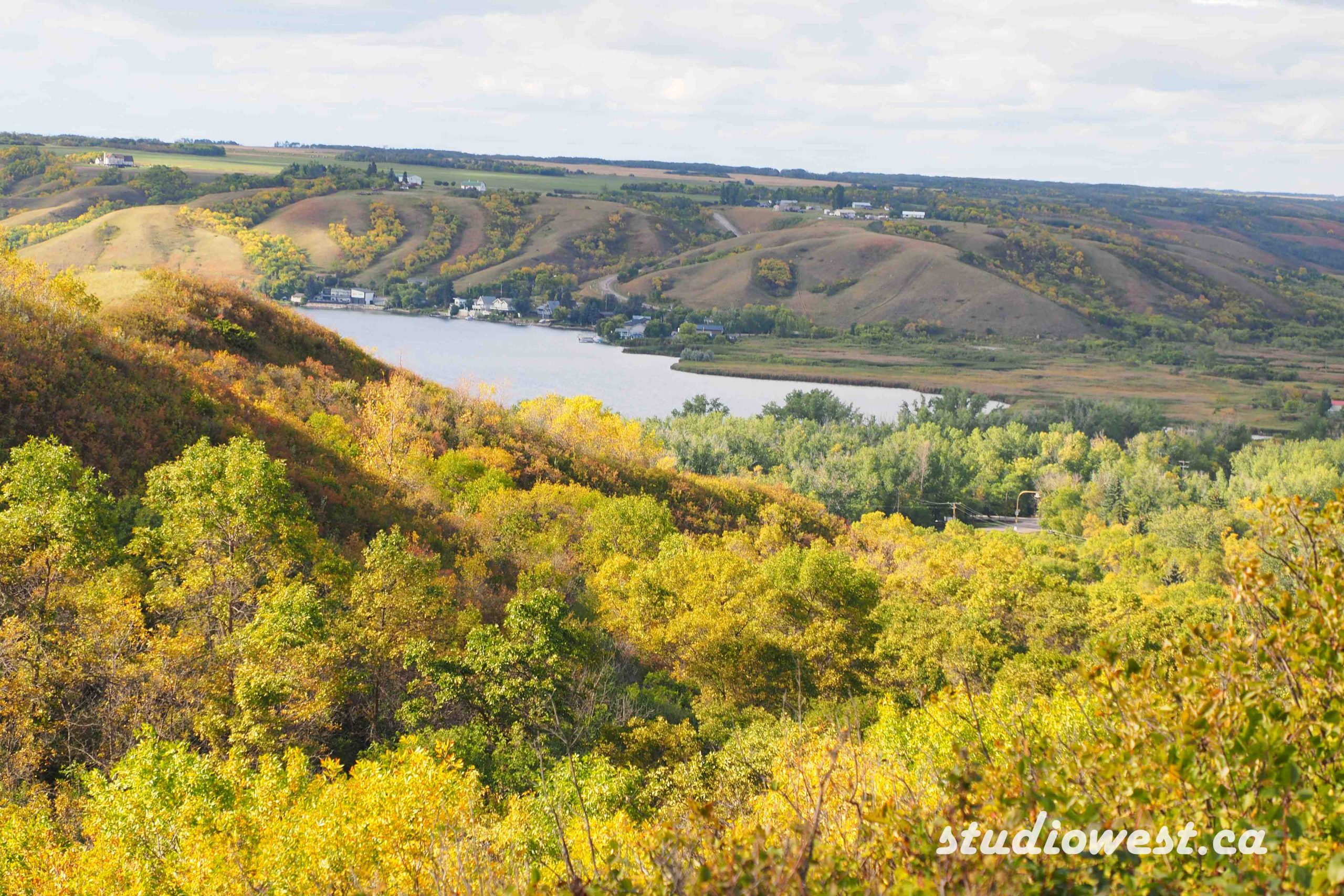
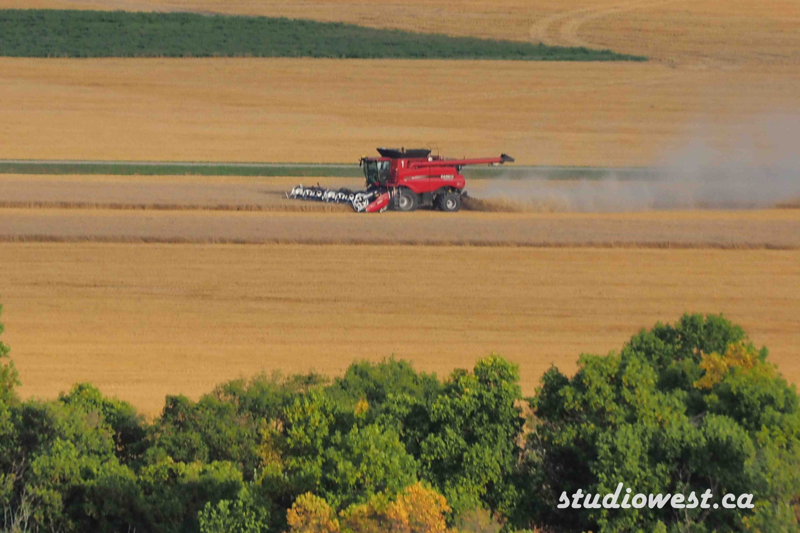
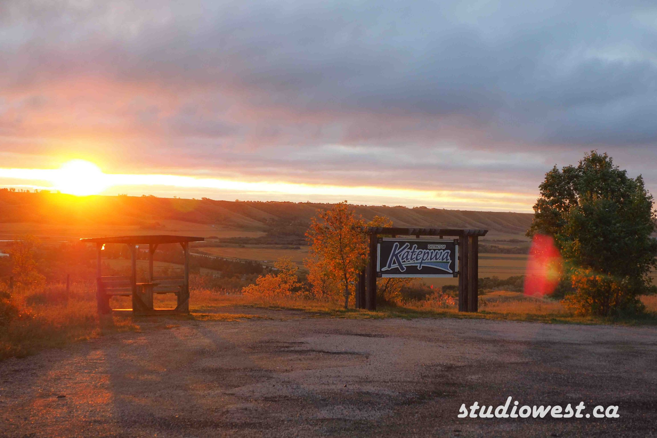
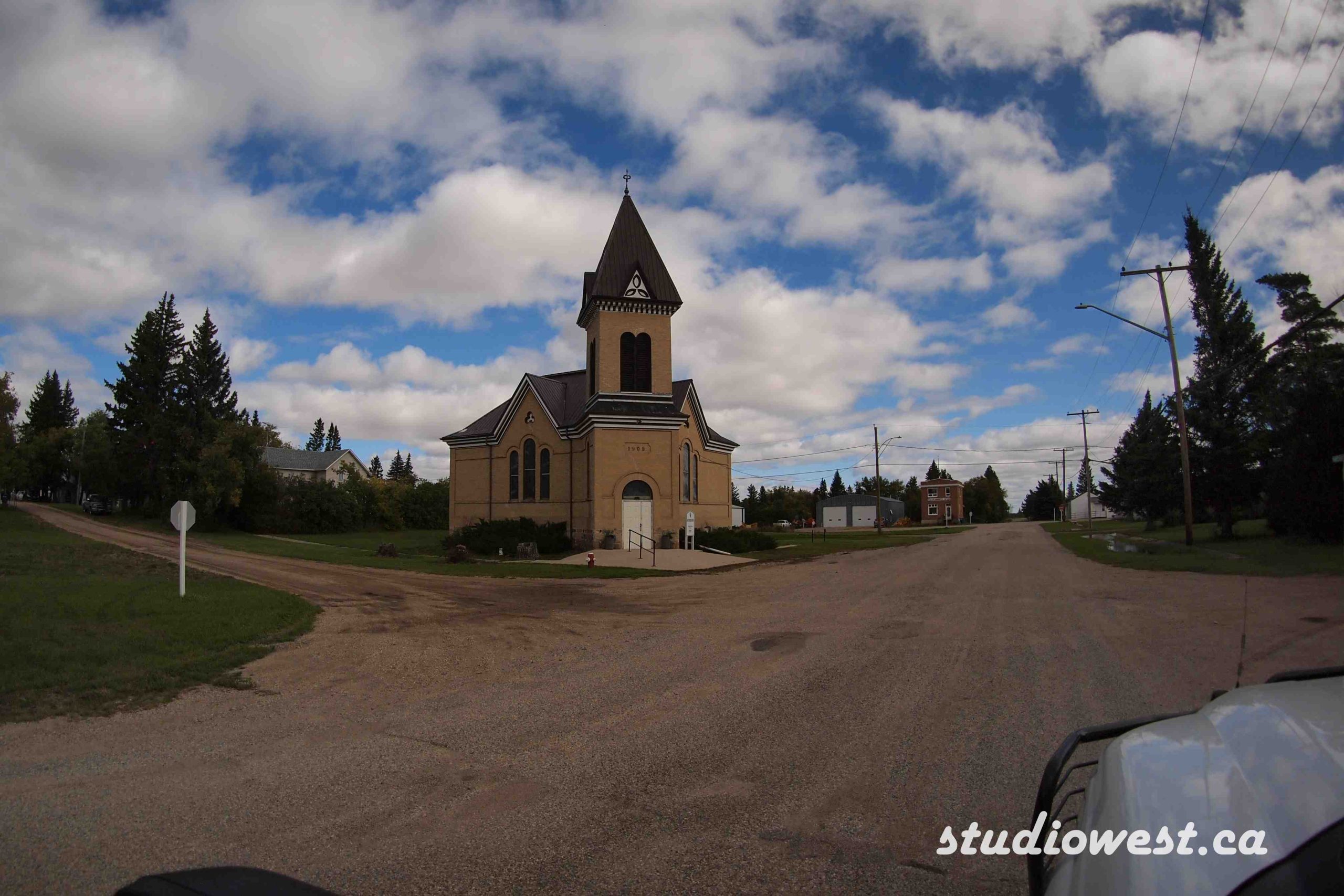
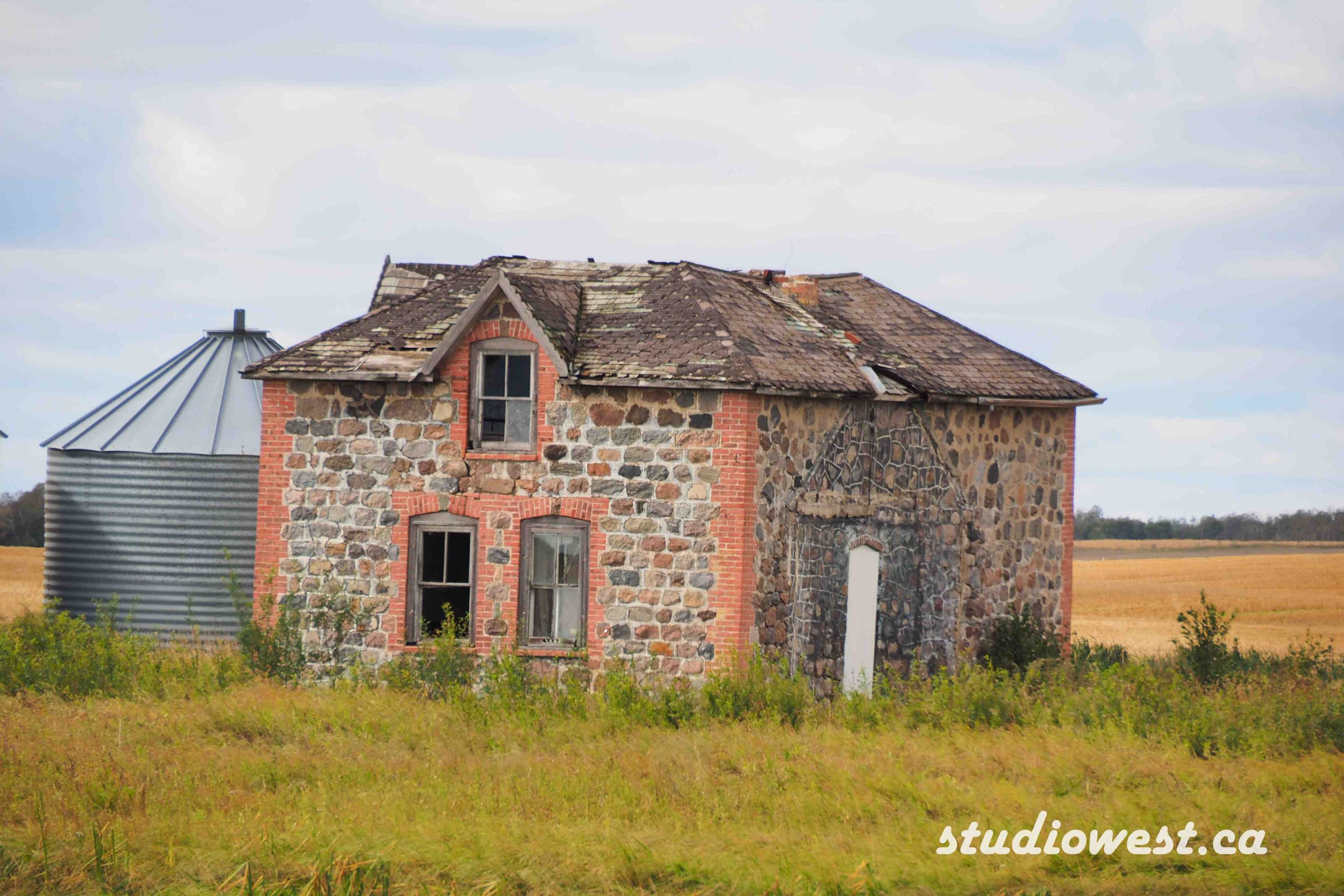
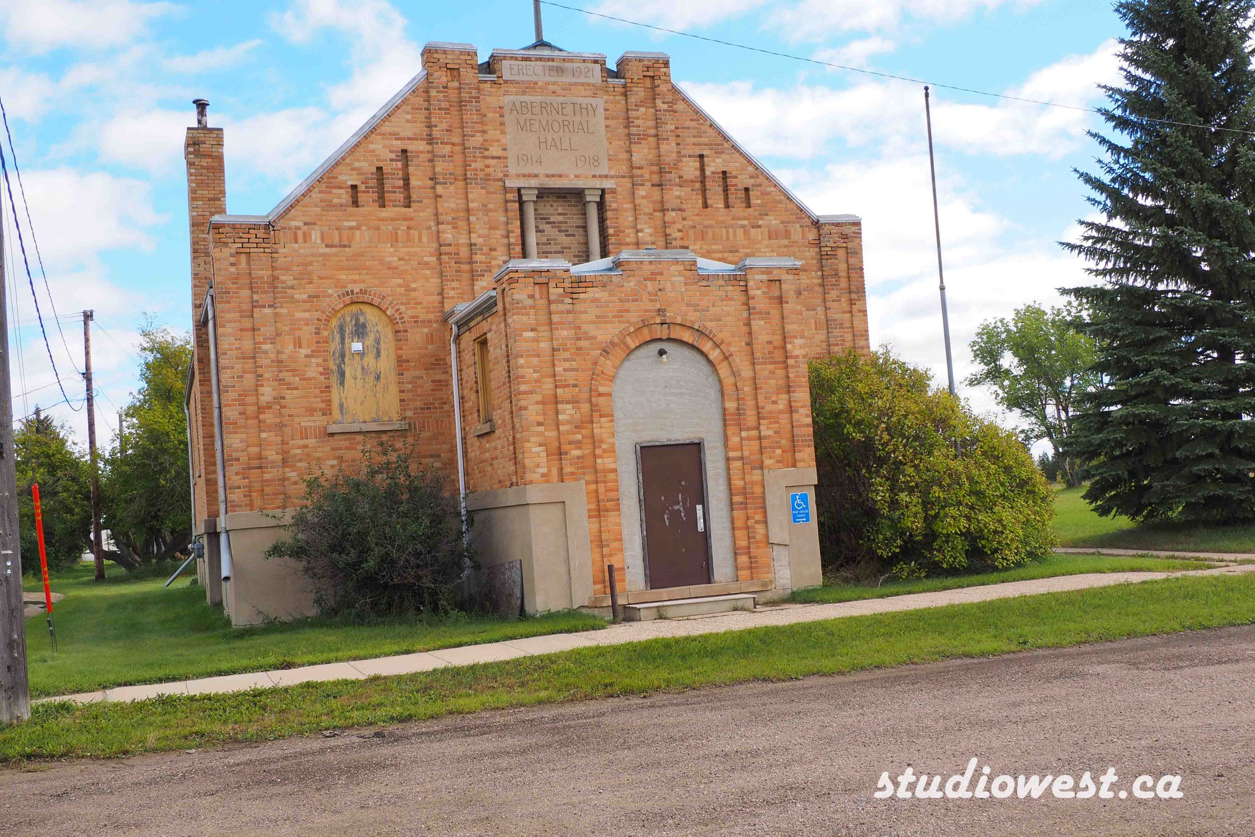
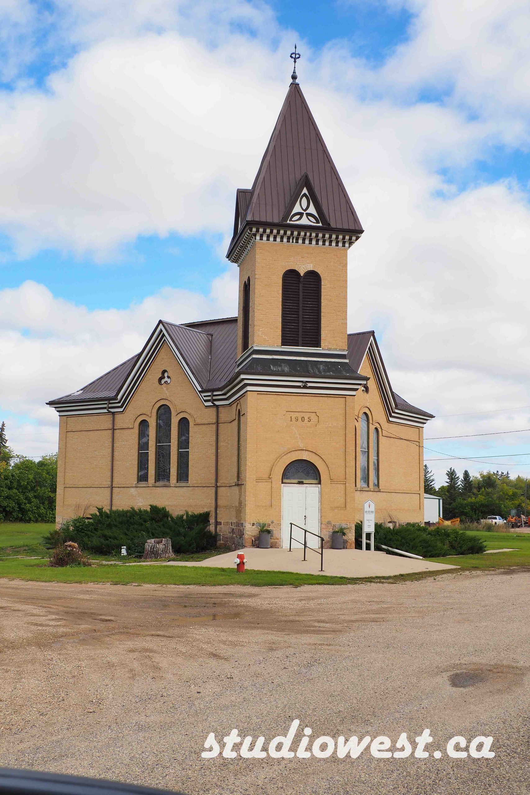
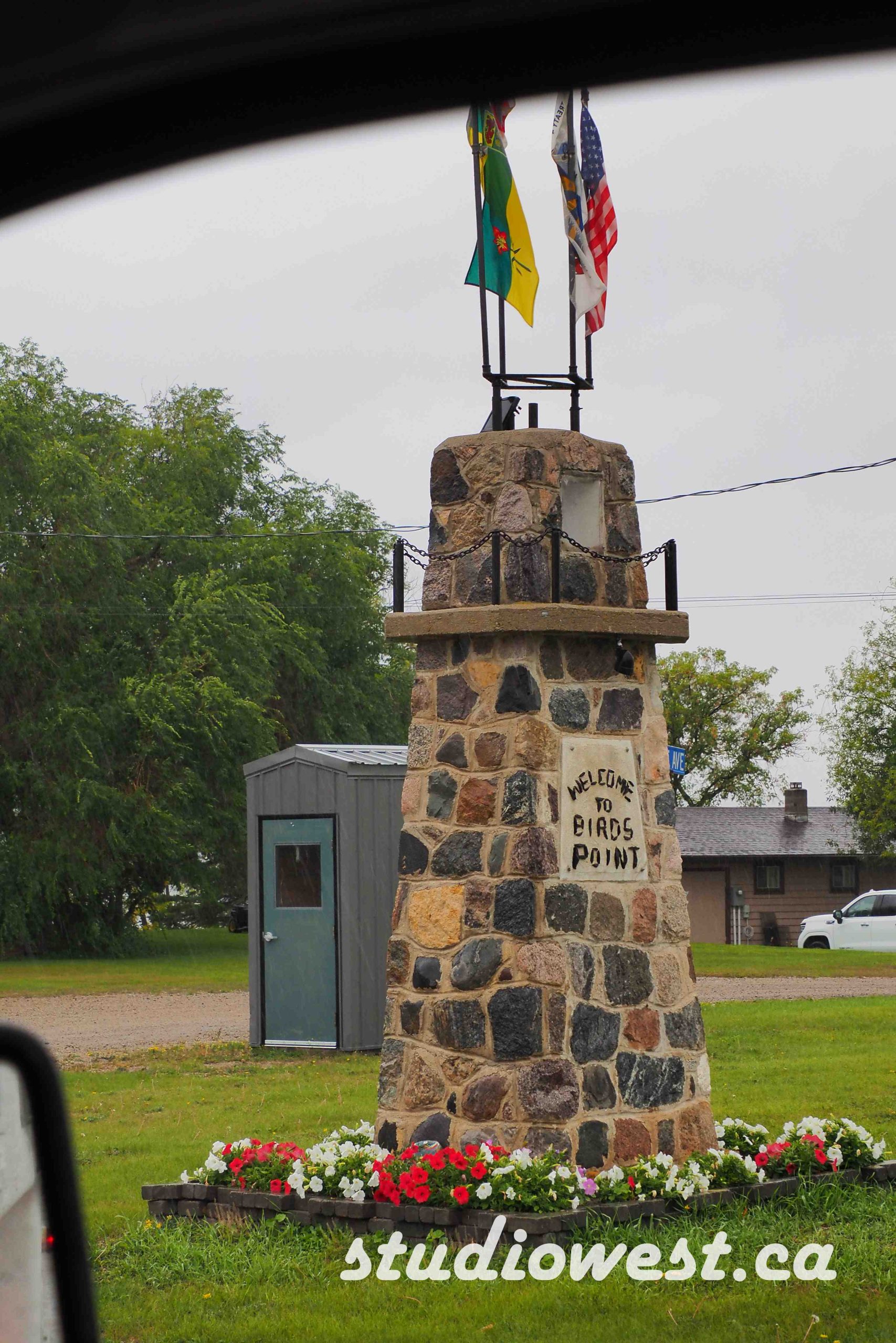
Just a Note: You can drive almost a third of the way across the province entirely within the valley, but be aware road conditions alternate between paved, maintained gravel, and rough grid roads that can get tricky during rainy conditions. Might want to check weather and how much you love your bigger rigs; our truck camper loves these trails but we just did the central section this time.
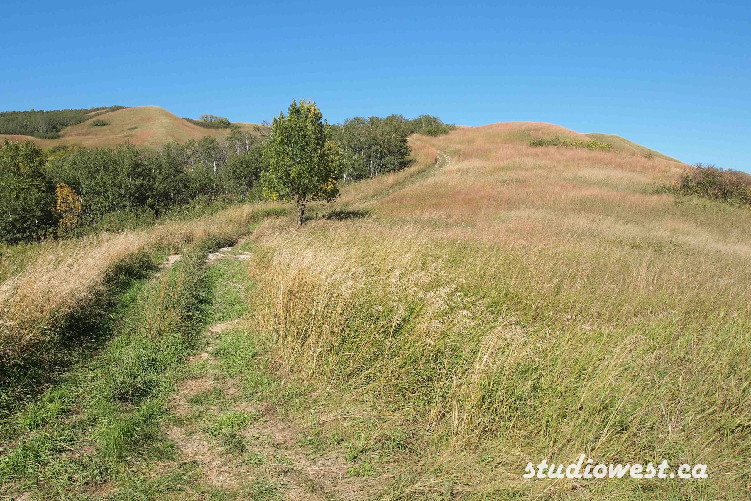
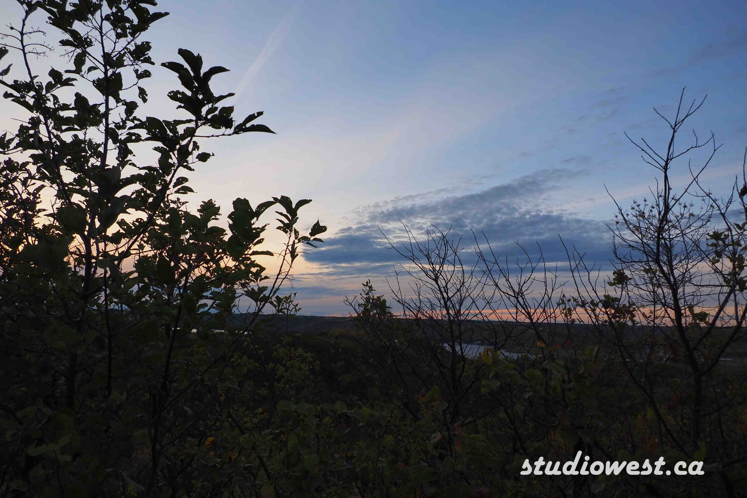
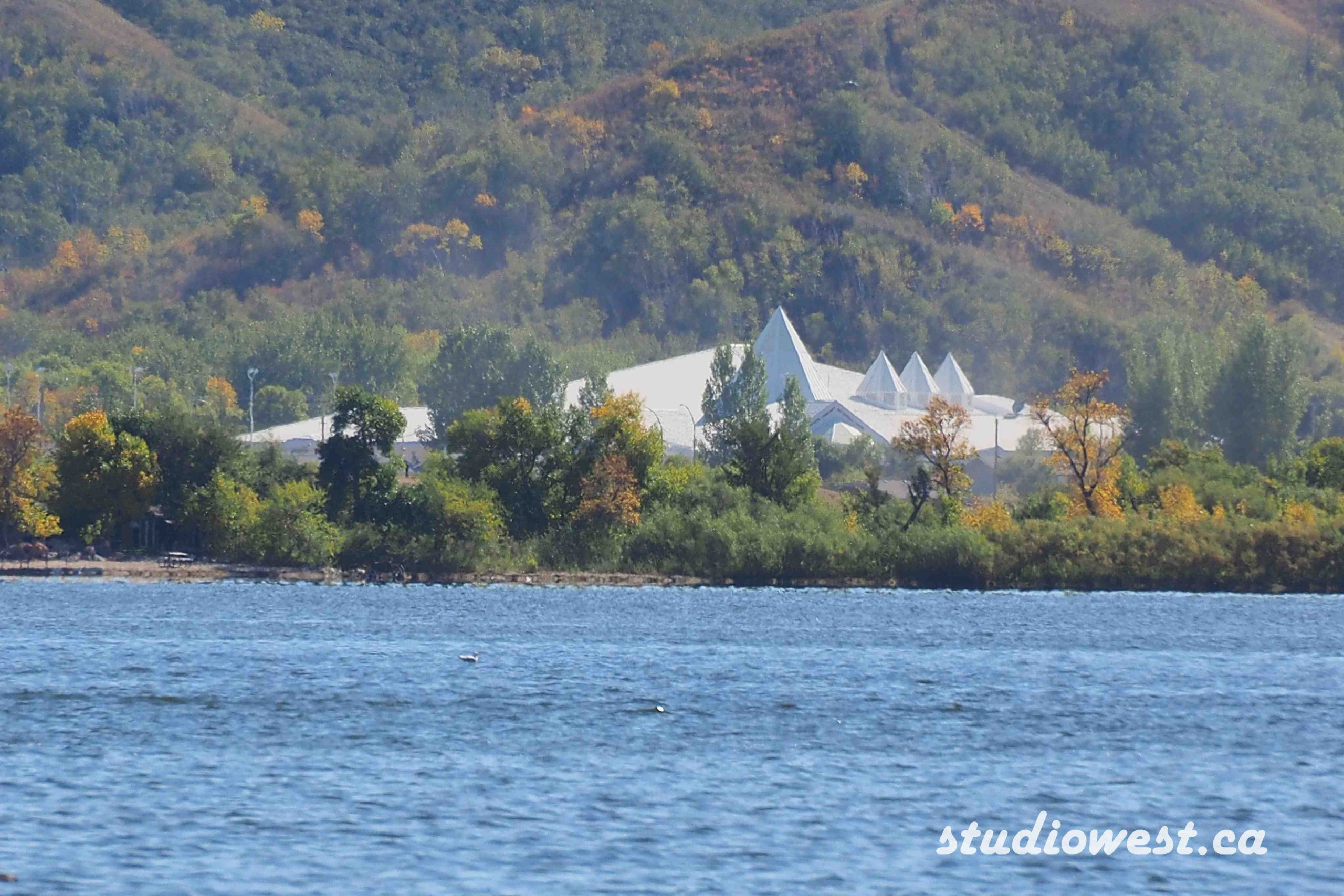
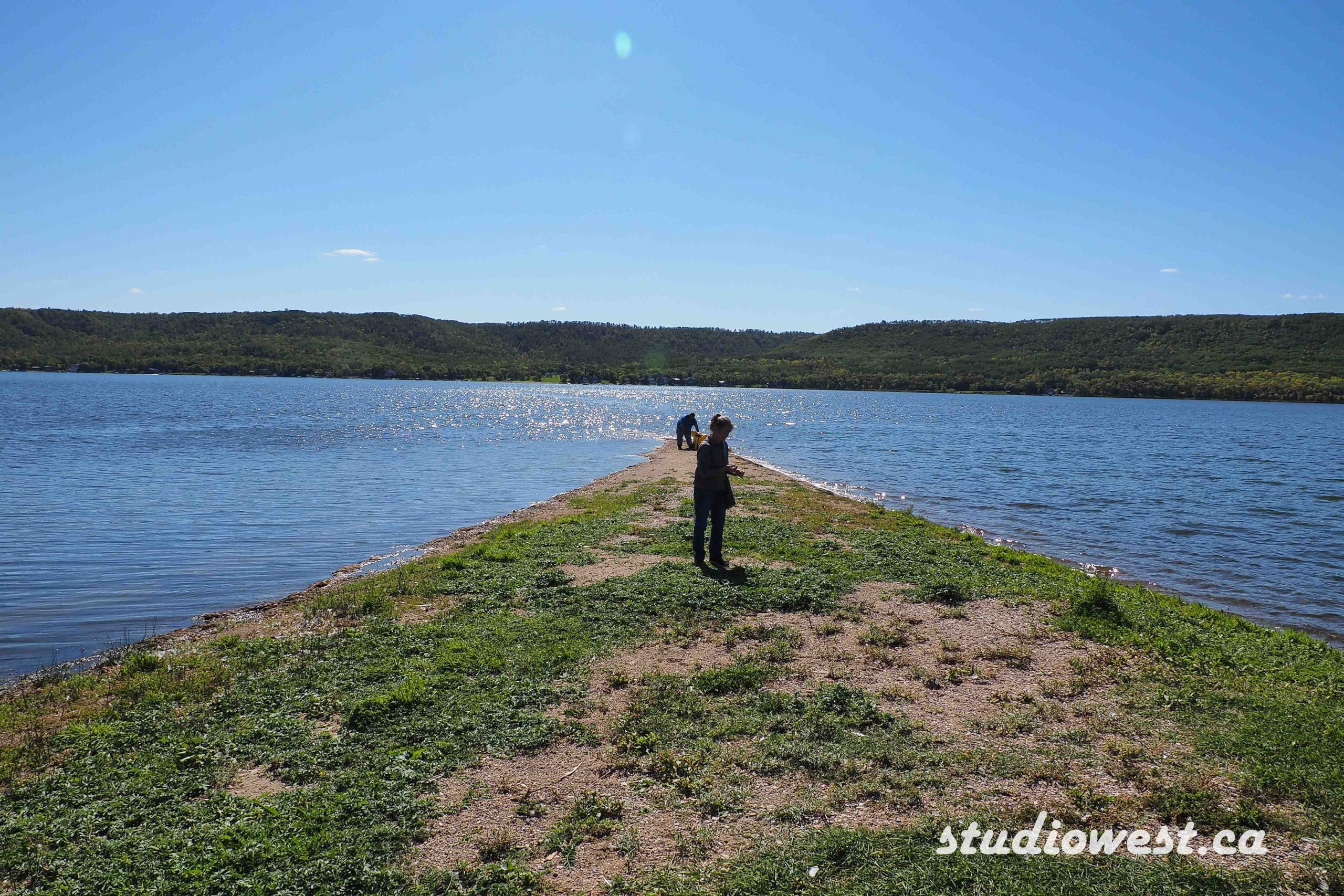
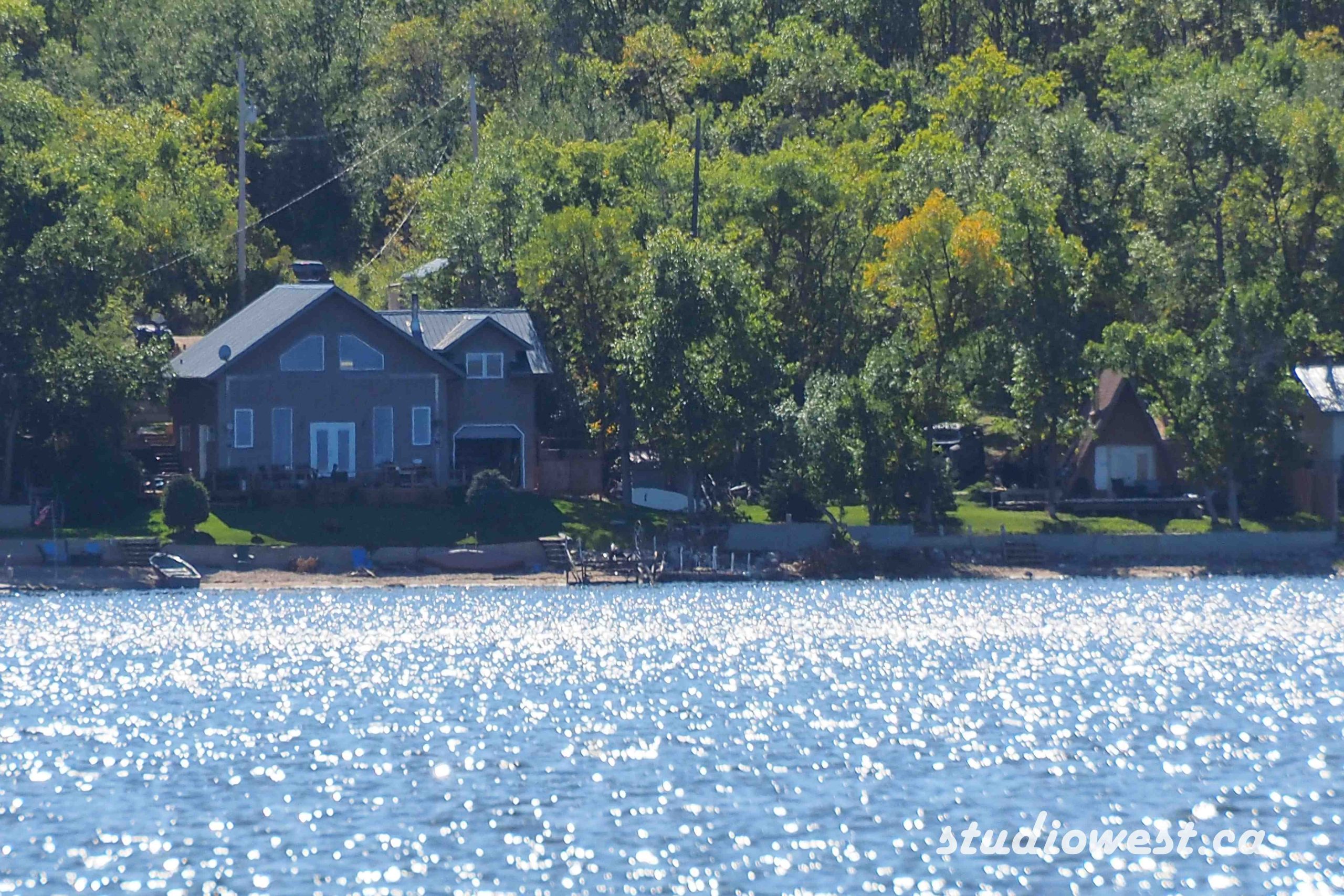
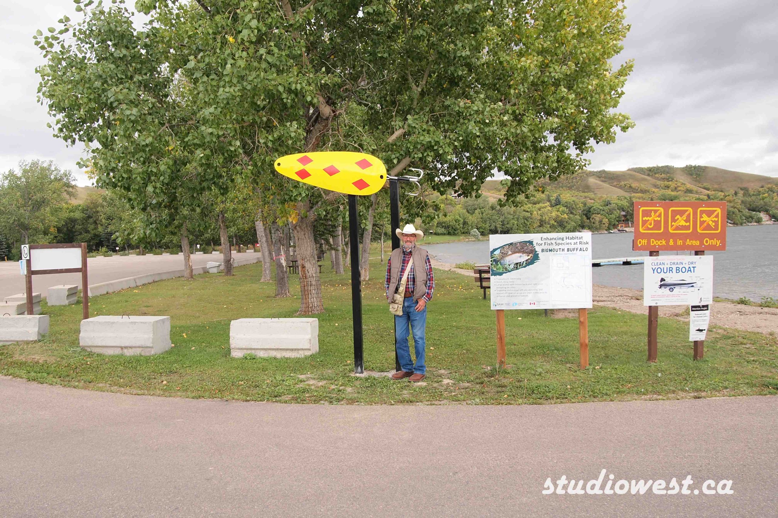
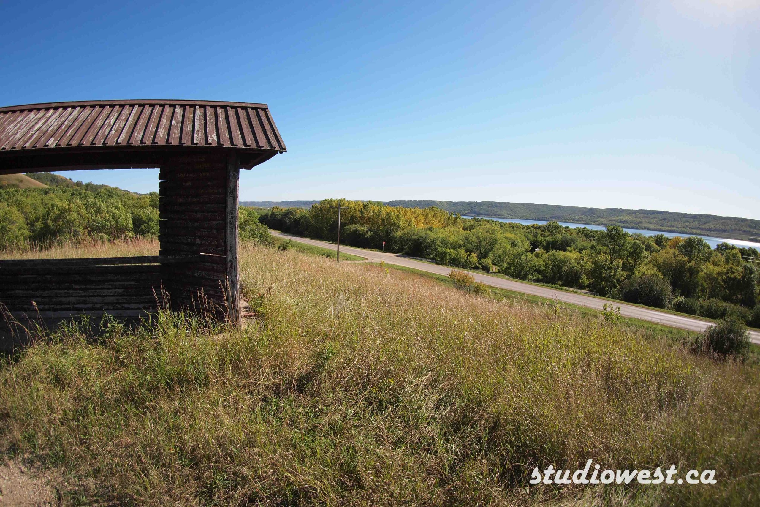
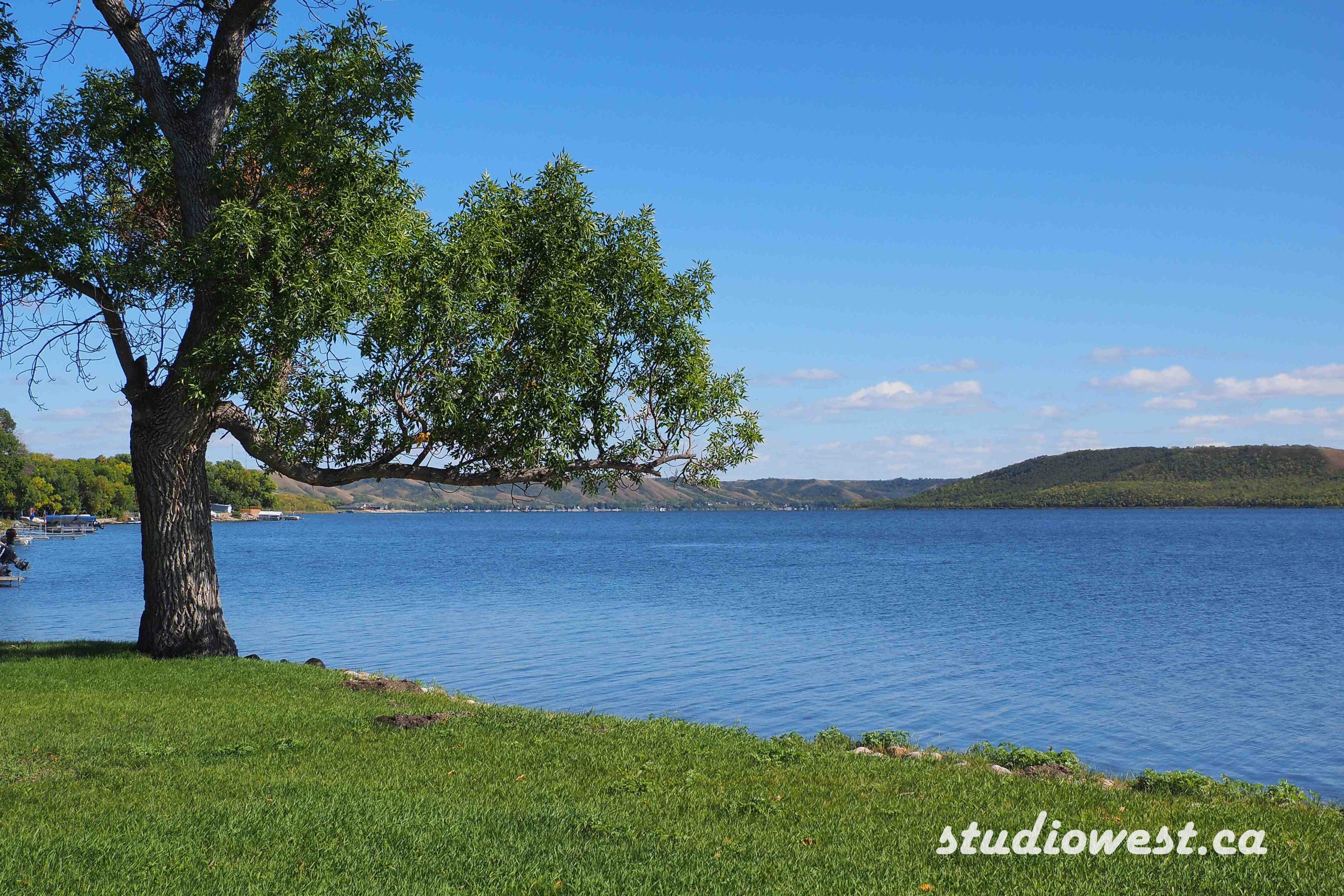
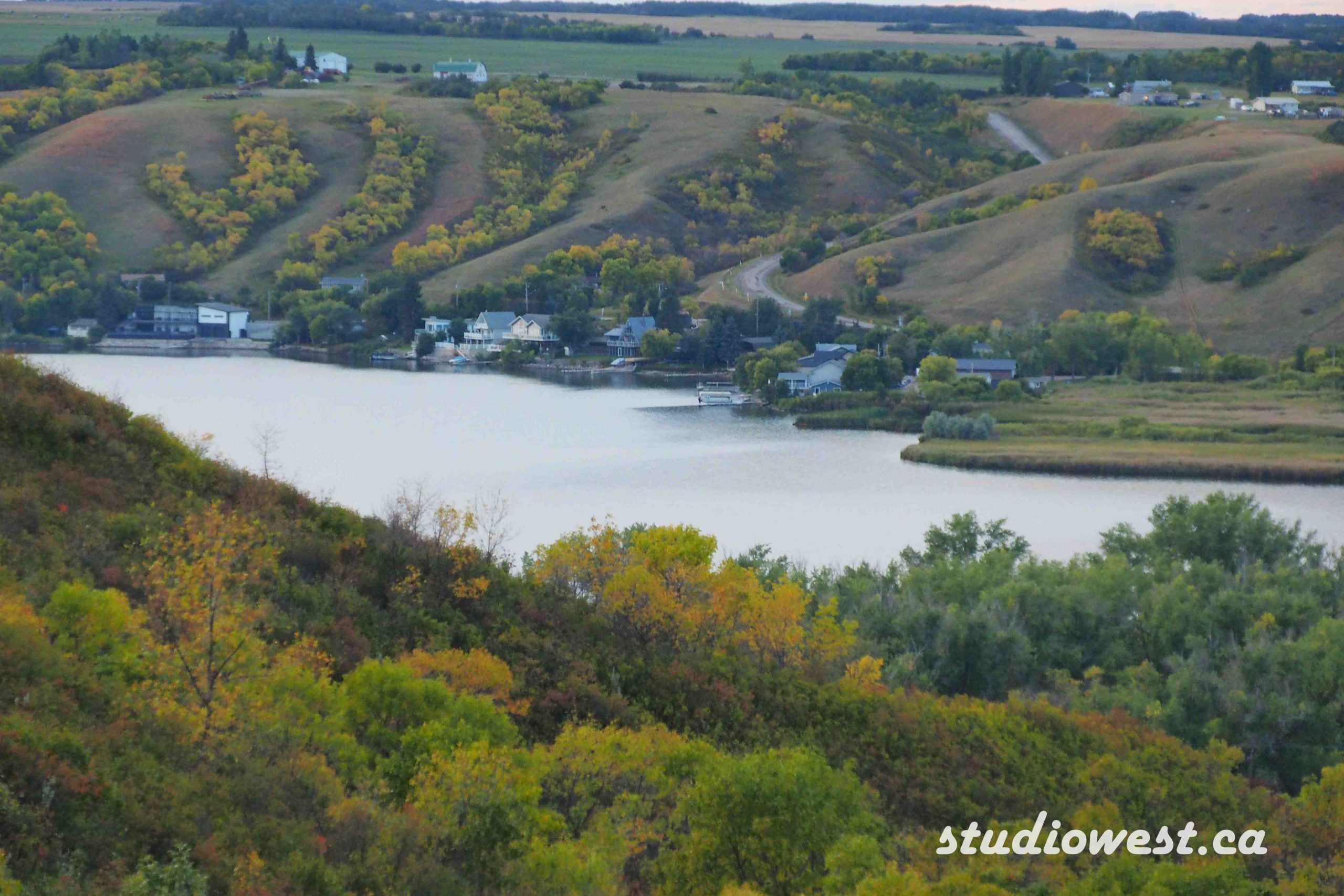
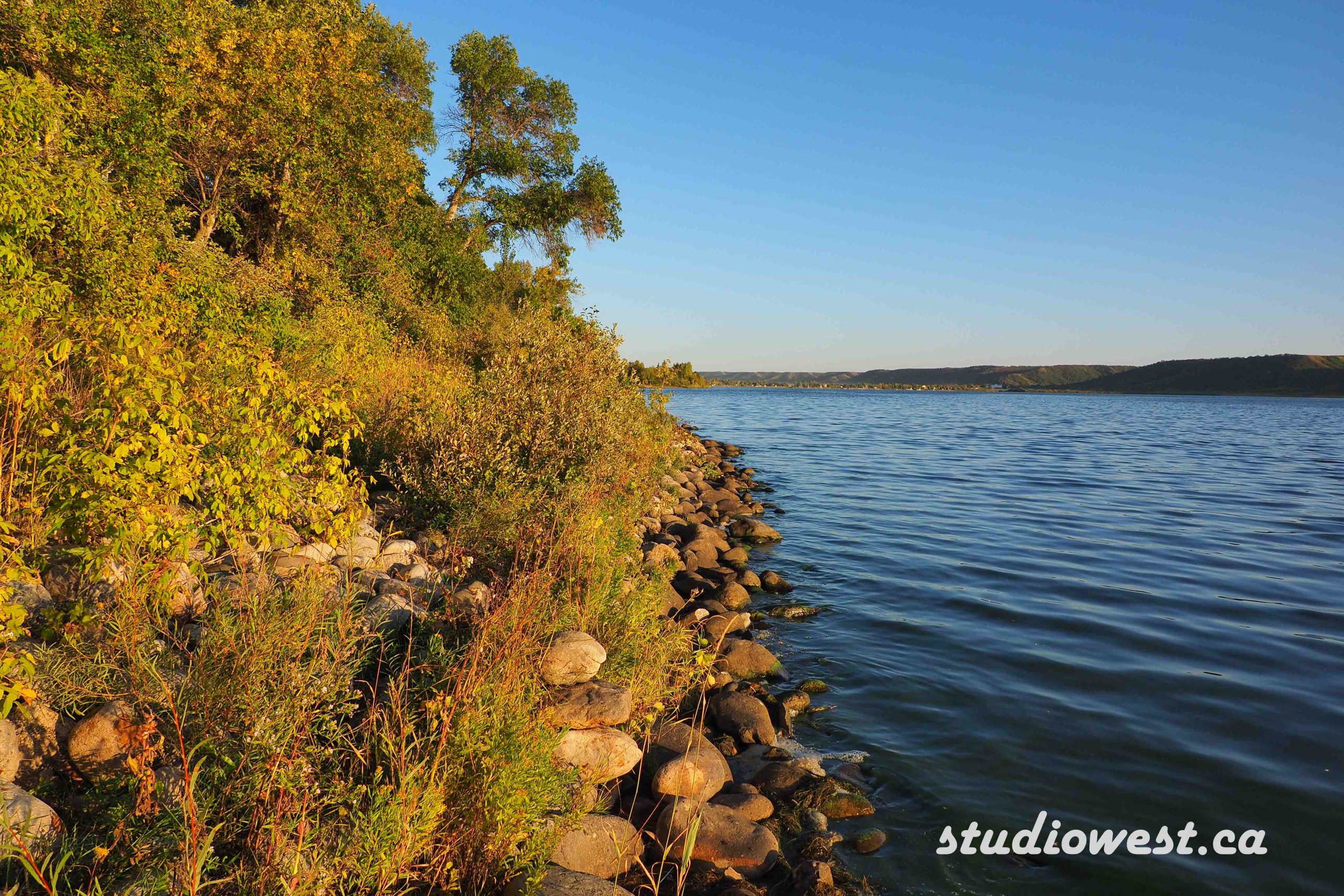
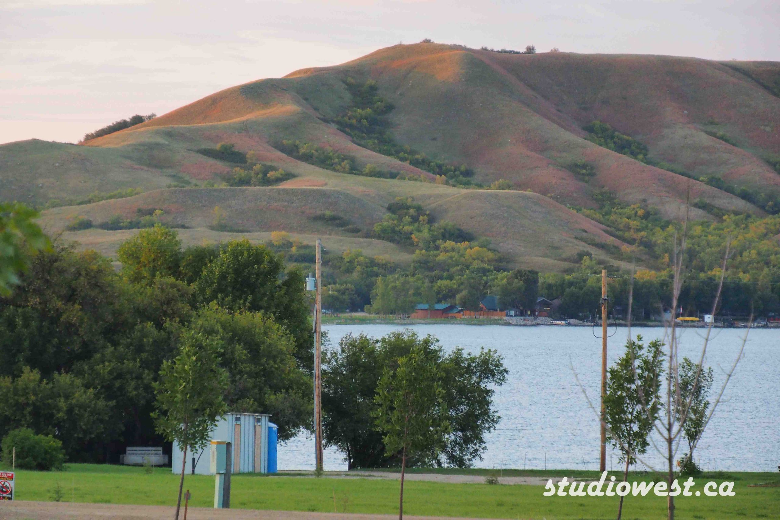
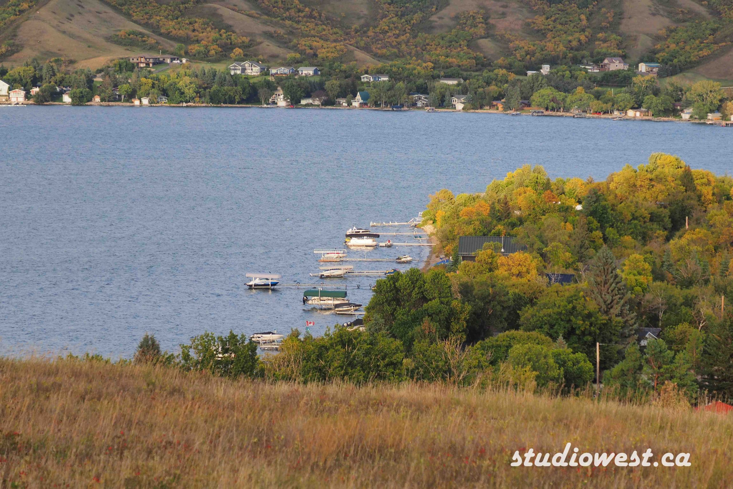
The Qu’Appelle Valley is a scenic river valley in southern Saskatchewan, formed by glacial meltwaters and rich in natural, historical, and cultural significance. The Qu’Appelle Valley stretches from west to east across southern Saskatchewan, beginning near Lake Diefenbaker and ending just across the Saskatchewan-Manitoba border at St. Lazare, where the Qu’Appelle River joins the Assiniboine River, eventually flowing to Hudson Bay via the Red and Nelson Rivers. The valley was carved about 14,000 years ago by meltwaters from the retreating continental ice sheet, creating a landscape roughly 2 kms wide and 180 meters deep. Over time, sediment partially filled the valley, and underground springs now feed its lakes.
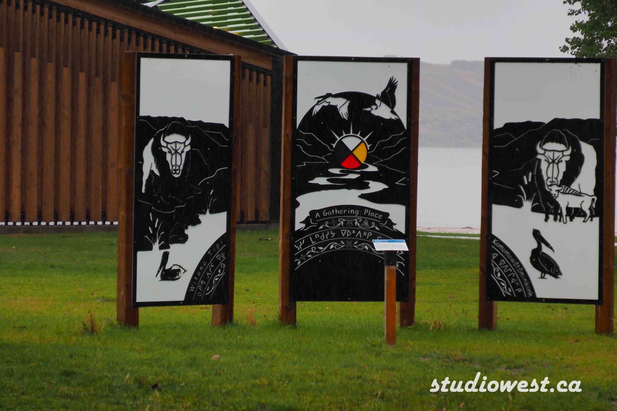
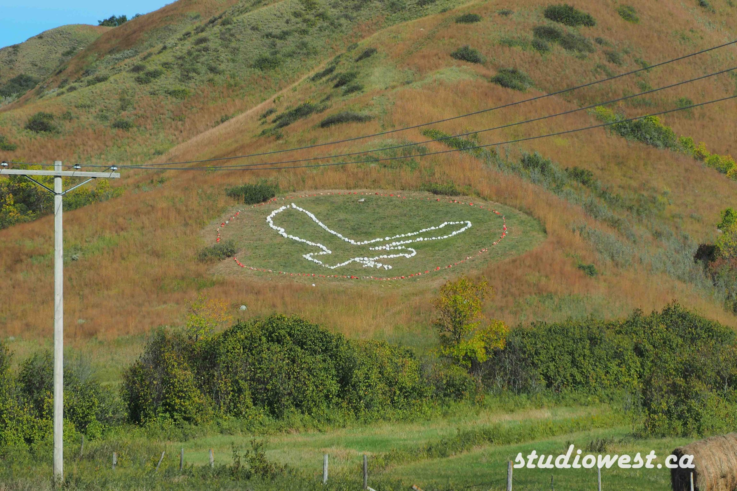
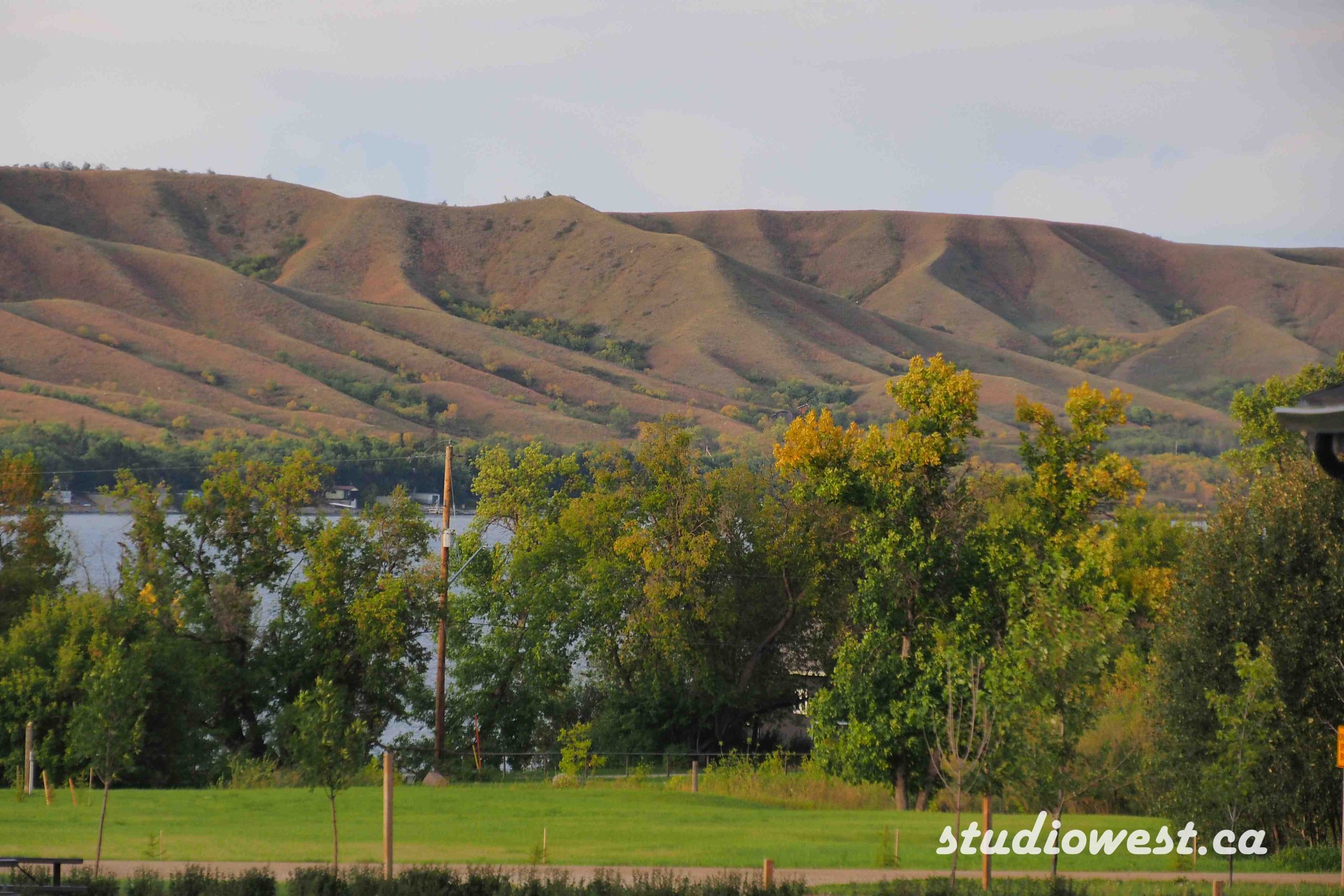
The area is rich in historical and cultural information. First Nations peoples have inhabited the valley for millennia, relying on its abundant fish, game, and shelter. During the fur trade era, pemmican was transported along the valley to supply traders in forested regions. The valley also has European settlement history, with Fort Qu’Appelle serving as a key community and trading post. The name “Qu’Appelle” comes from a Cree legend about a young warrior who heard his name called by the spirit of his dying bride, a story that inspired Canadian poet Pauline Johnson.
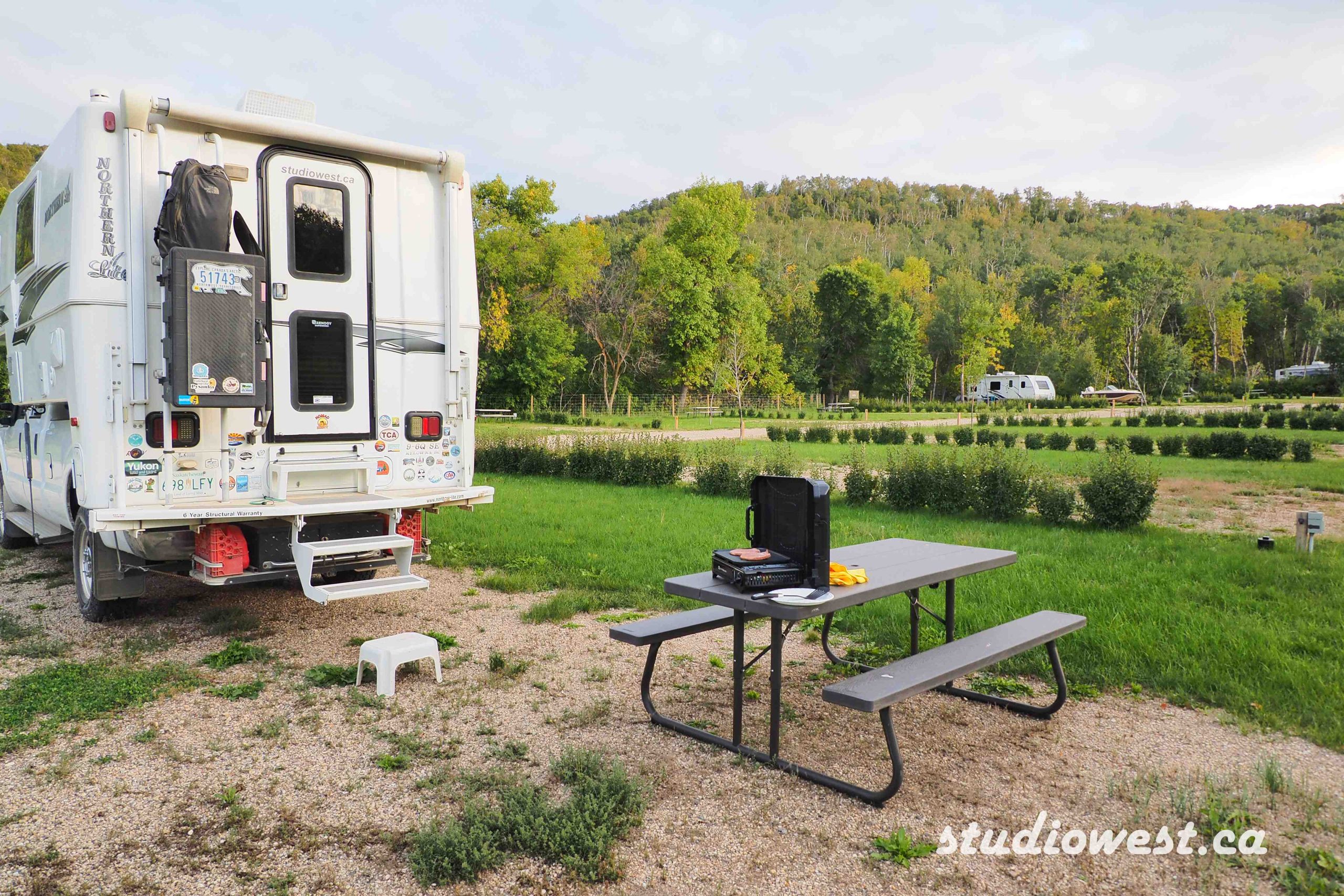
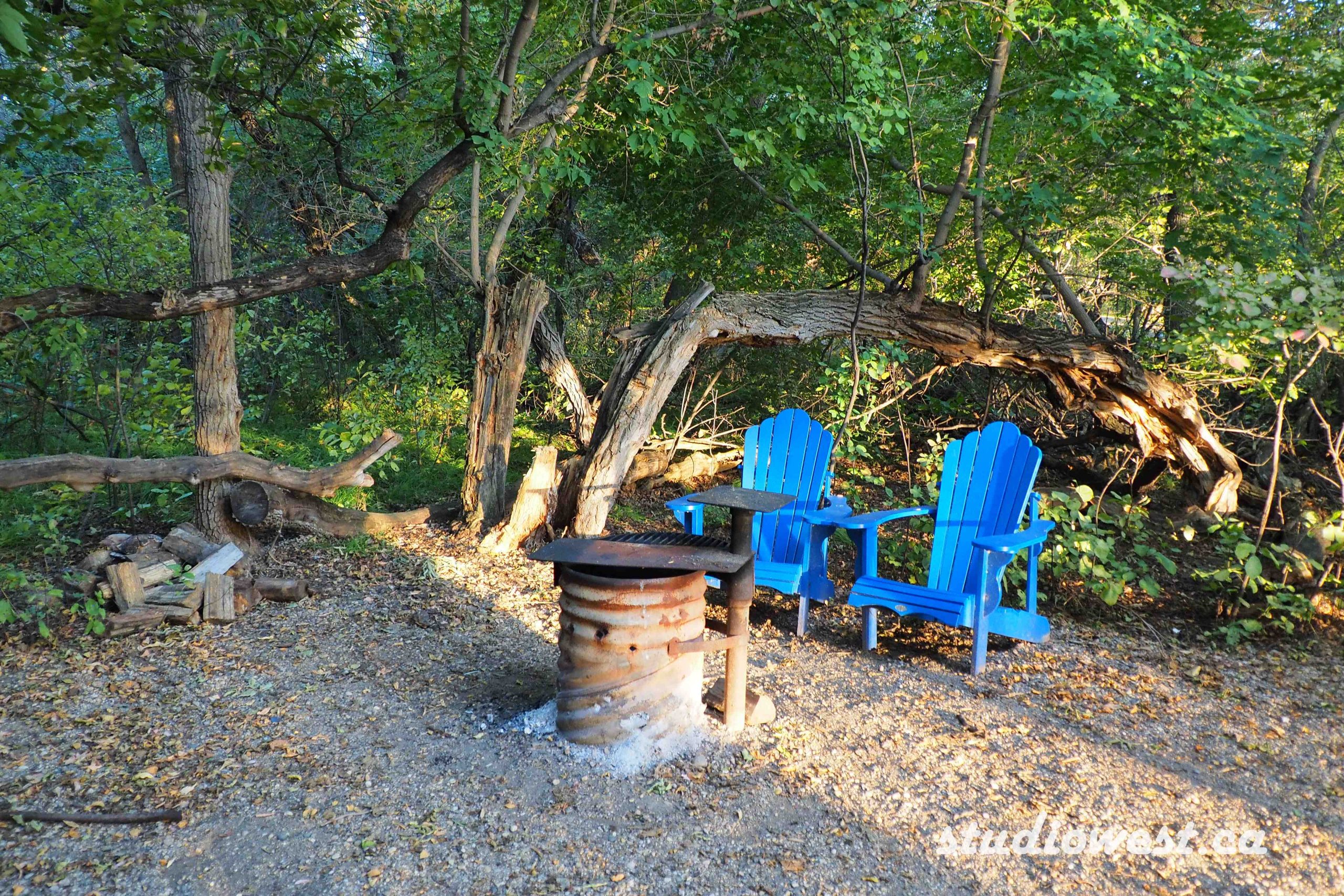
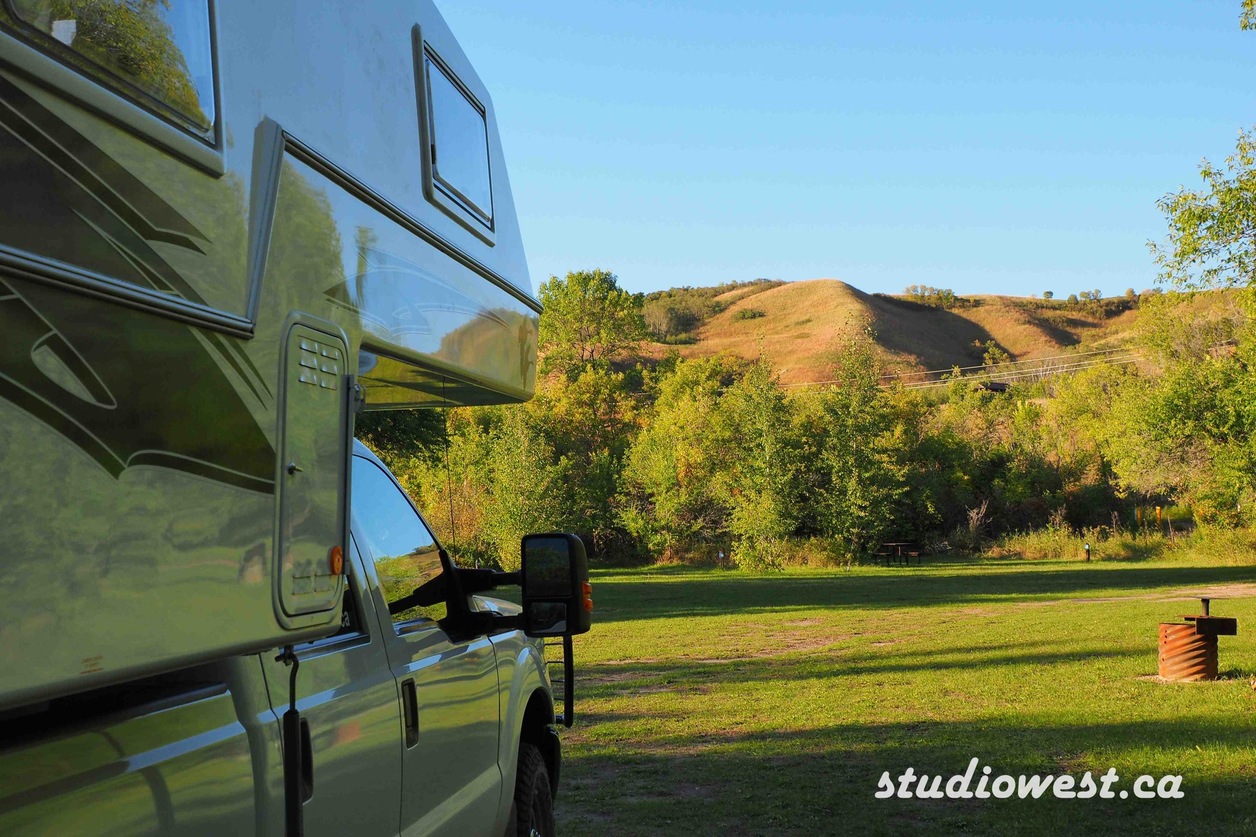
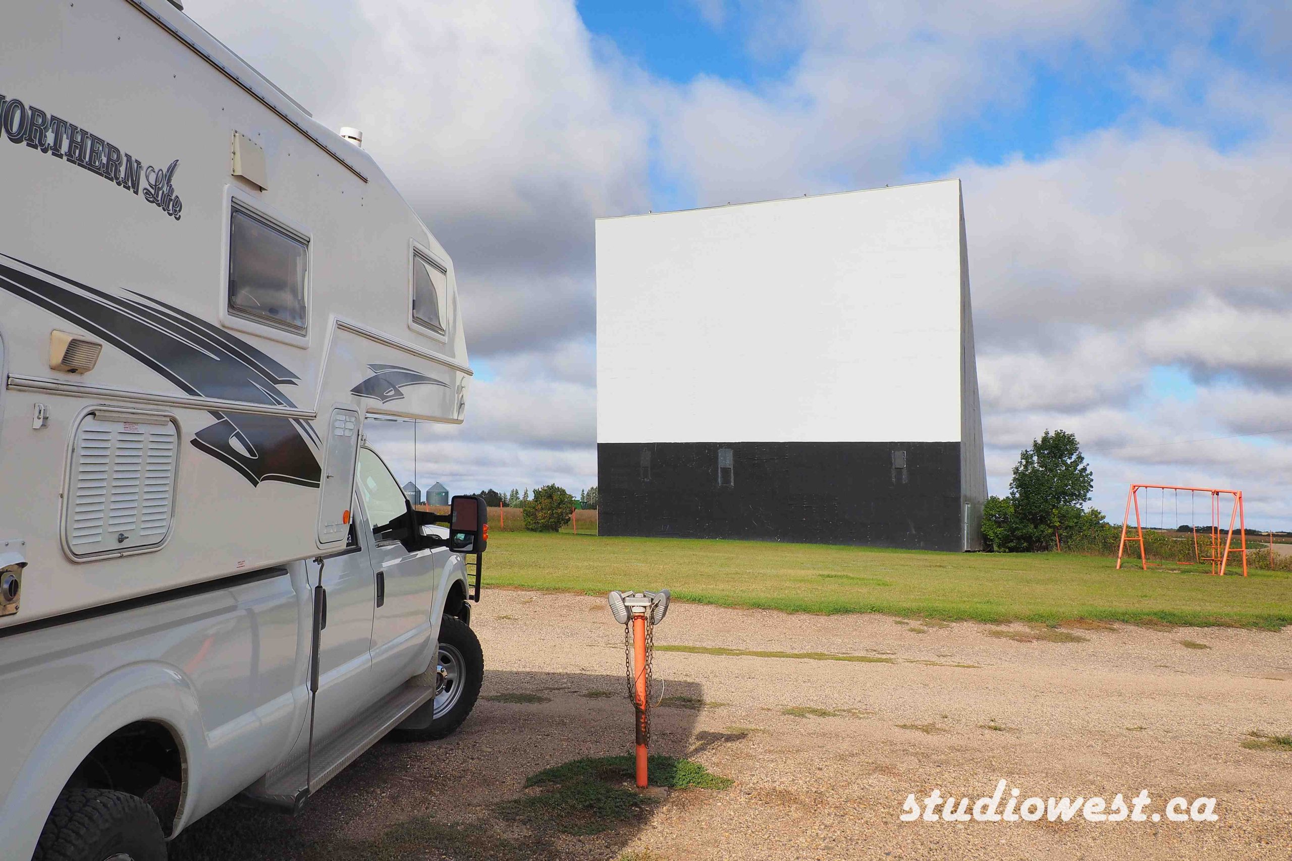
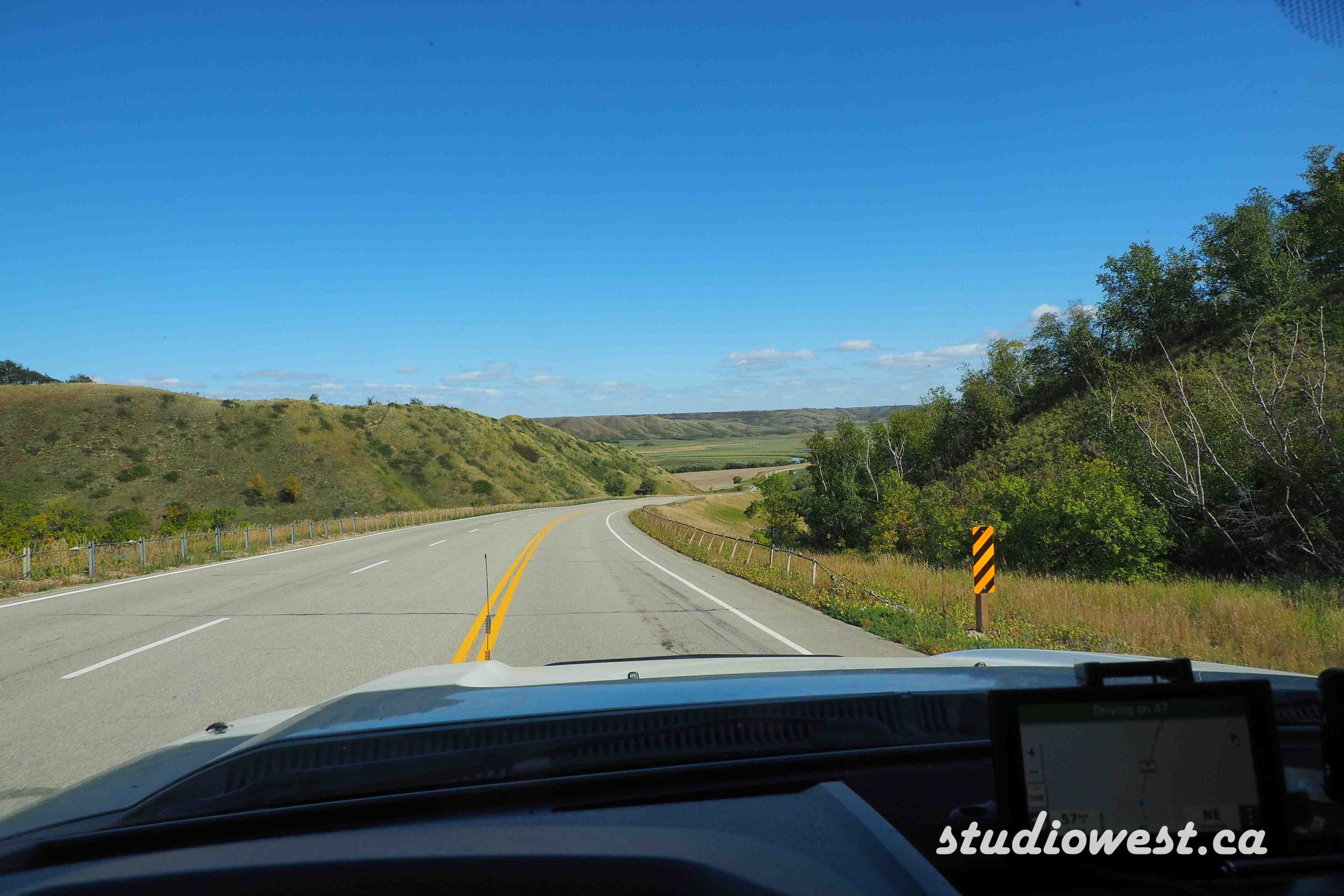
As always when visiting any area, a little homework on the history makes your travels much more enjoyable, and every place has a story. Hope you enjoyed some of the images of our trip a little later in the fall colours would have been more vibrant but that is for you to discover on your own.
Take care safe travels, hope we can meet down the road.
Gerry and Charlotte (Slow Roaming Nomads)
Contact: gerry@studiowest.ca